Navigating the Wilderness: Tips and Tricks — Start Here

Today’s chosen theme is “Navigating the Wilderness: Tips and Tricks.” From map-and-compass confidence to nature’s signposts and smart tech backups, this guide helps you move with purpose. Share your own navigation wins and lessons—your story can help someone else find the way.

Map and Compass Mastery

Choose a scale that matches your journey’s detail needs—1:24,000 for intricate terrain, 1:50,000 for broader overviews. Check legend symbology, recent revisions, and contour intervals. Laminate or use a waterproof case, and annotate checkpoints before departure.

Map and Compass Mastery

Confirm your area’s magnetic declination using an updated source, then set the adjustment so bearings translate cleanly between map and field. Practice taking bearings from landmarks, and always confirm with a second reference when conditions feel uncertain.

Keeping a Bearing on Uncertain Ground

Travel alongside rivers, ridgelines, or distinct edges as handrails. Choose a backstop—a road, cliff, or broad valley—to prevent overruns. Identify catching features like stream bends that confirm progress and reduce time-consuming course corrections.

Keeping a Bearing on Uncertain Ground

Count paces per hundred meters and combine with elapsed time for a tight estimate of distance traveled. Jot brief notes at decision points. Tiny breadcrumbs—like flagging landmarks and compass bearings—save hours when fatigue dulls memory.

Sun arc and shadow stick method

Plant a stick upright, mark the tip of its shadow, wait fifteen minutes, then mark again. The first mark’s direction toward the second approximates east. Combine with time-of-day sun position to sanity-check your compass reading.

Polaris and star pointers made simple

Use the Big Dipper’s outer bowl stars to point toward Polaris, marking north in the northern hemisphere. Practice locating constellations before your trip. Night skies can offer dependable orientation when clouds clear and batteries fade.

Smart Tech, Smarter Backups

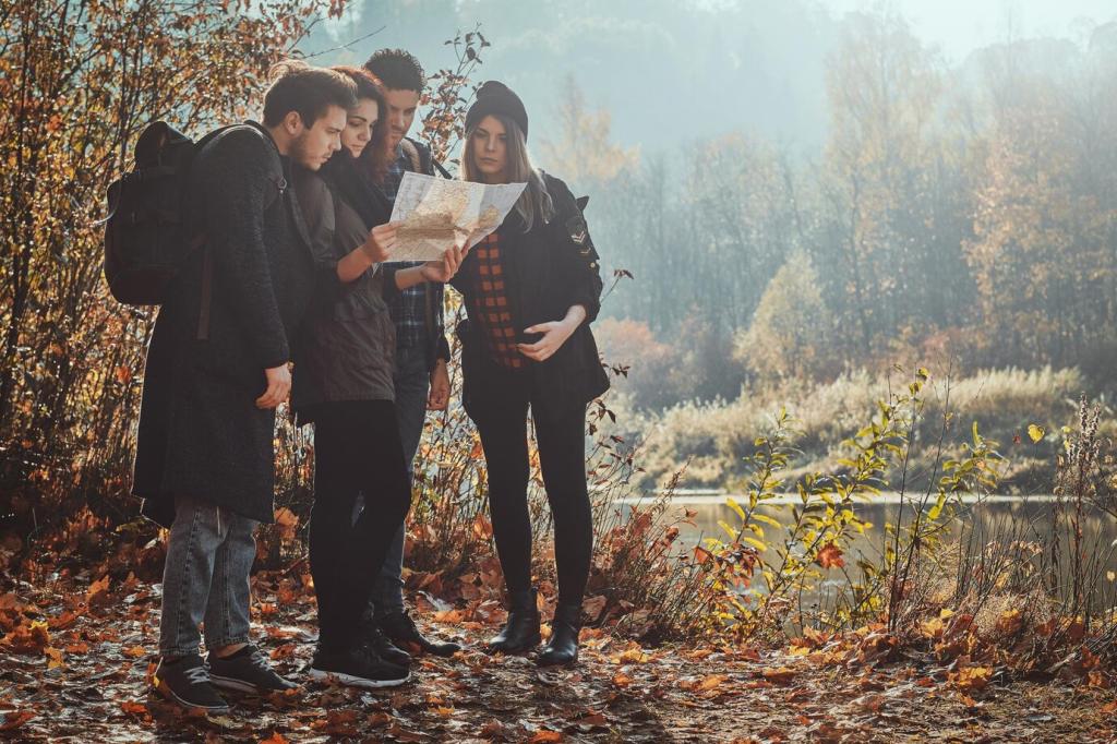
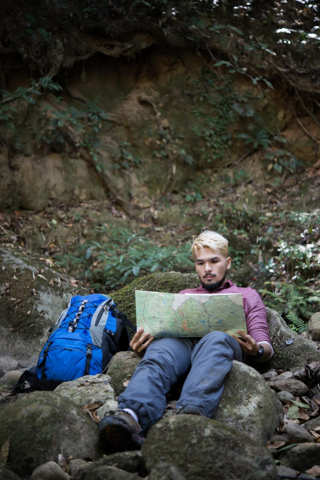
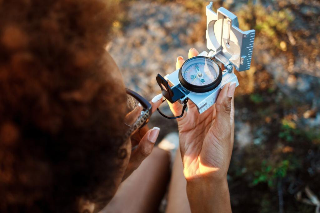
Preload routes, waypoints, and hazard notes. Record a track, but don’t follow it blindly; compare against terrain. Keep devices warm in cold weather to preserve accuracy. Use airplane mode to reduce drain without losing GPS reception.

Smart Tech, Smarter Backups

Download multiple offline map layers—topo, satellite, and slope shading—so a single data gap won’t trap you. Cross-check GPX routes against contours to spot unrealistic lines over cliffs or talus. Trust your eyes more than any line.

Field Story: A Foggy Ridge Lesson

Fog swallowed the trail, and our group drifted toward tempting, featureless heather. We paused, marked our last known point, and listened—faint surf suggested the west, a creek murmured somewhere below, and our nerves steadied.
Trustformalab
Privacy Overview

This website uses cookies so that we can provide you with the best user experience possible. Cookie information is stored in your browser and performs functions such as recognising you when you return to our website and helping our team to understand which sections of the website you find most interesting and useful.